Author:

Those who are active on the social networks often like to âCheck Inâ to the places they visit using GPS on their smart phones in order to flaunt their hang outs. Some people also find it fascinating to mark their homes on the Google Earth.
Such privileges are not available to those whose place of dwelling doesnât even exist on the map. People of JJ Cluster Bandhu Camp at B-5 Vasant Kunj are changing this reality with the help of PRIA and its partner organization Jhuggi Jhopri Ekta Manch.
A team from PRIA visited the slum cluster recently to involve the community in the GPS mapping of their slum. A team of SIC (Slum Improvement Committee) and volunteers have been formed who would lead this initiative which would put the slum on Google Earth along with records such as how many families live there, what is the total population, how many toilets are there, how many families have ration card, voter ID card, Smart Card etc.

A temple at JJ Cluster Bandhu Camp at B-5 Vasant Kunj
The initiative is a part of PRIAâs âStrengthening voices of civil society on urban poverty issuesâ project which is running in several other cities across the country. The main objectives behind the initiative is to make the slums and its people visible, to collect and archive data about the slum, so that in case of any accidents or calamities the inhabitants are able to access the Governmentâs rescue and rehabilitation schemes without any hindrance. The community itself is being involved in the initiative so that they have a sense of ownership and belonging, they would learn to use the GPS device and would have an identity related to the place they live.

A community member reading about GPS device and how it works
Braving the scorching sun of the summer afternoon, a large group of volunteers, men and women alike, gathered near a tea stall to listen to the PRIA team giving an orientation on how to use the GPS device. They were told the details of how to create points, how to track roads and boundaries. The community was keen to understand how GPS mapping of their slum would benefit them. Suman and Nidhi from PRIA told them that in case of any dispute they would be able to show every detail of their slum and its dwellers on the record accessible by anybody from any part of the world. This slum have also been getting a lot of eviction notices, they were told that evictions can be contested if thereâs a record of the slum on the map.

The team from PRIA explaining how the initiative would benefit the community

Explaining how a GPS device works

Explaining how a GPS device works

Understanding the survey forms

Tracking the slum boundary

Children of the slum happy to pose for the camera
|
|
|
|
Handing over the GPS device to the community |
Mr. Arvind from Jhuggi Jhopri Ekta Manch receiving the device |
The slum has about 700 homes, the PRIA team marked a few places on the device and explained that once about 300 places have been marked the data would have to be transferred to a computer. Eager volunteers asked if this device would help them locate each other from anywhere. They were told that it is not the same as the GPS on the cellphone. Mr. Arvind from Jhuggi Jhopri Ekta Manch was then handed over the GPS device and the survey forms to be filled in by the volunteers.
PRIA team would meet the community again after around ten days to check the progress of the work.
This blog explores mobility challenges faced by women in Vypin, Kochi, highlighting how infrastructure alone does not ensure equitable access. It underscores the need to integrate participatory approaches with implementation for inclusive and meaningful development outcomes.
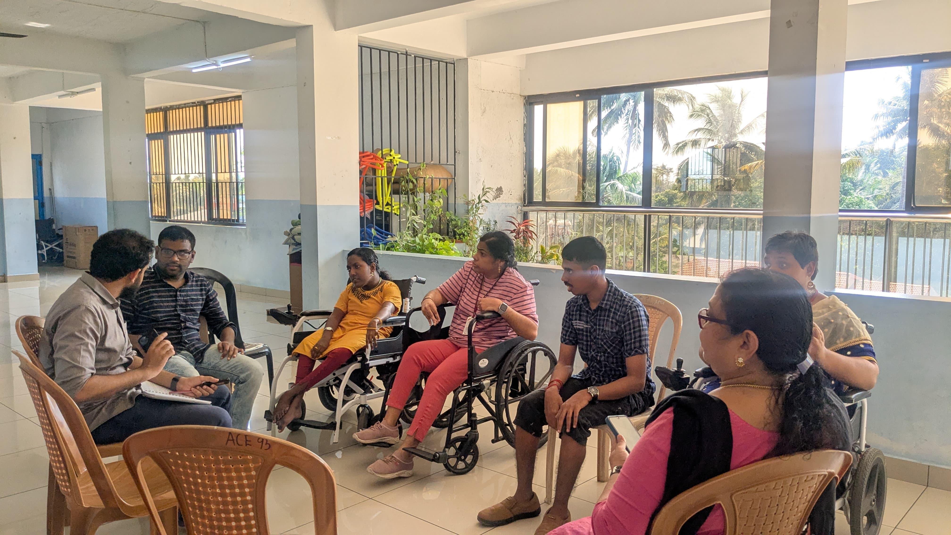
Insights from participatory research across Kochi, Bengaluru, and Ahmedabad reveal that disability-inclusive mobility demands far more than infrastructure compliance. It requires recognising the diversity of disabilities, the intersecting barriers of gender and class, and the wisdom that communities hold in identifying practical solutions.
This blog, written by our intern Kush Rastogi, a B.A. English (Hons) student at Amity University, Noida, reflects on Dr. Rajesh Tandon’s podcast 'Reimagining Civil Society'. It captures powerful stories of literacy movements in India, highlighting civil society’s role in empowerment, innovation, and inclusive education.